County Maps
Geographic Information Systems (GIS)
Geographic Information Systems (GIS) use spatial locations (physical locations) to gather, manage, and analyze data related to that location. This data is organized into layers of information to be compared with other data, spot relationships, or put into maps for viewing.
Visit the Renville County GIS HUB to view all the public GIS content listed in the table below.
Renville County GIS Hub Site Featured Content:
| Tax Parcel Viewer | Check out parcel boundaries and data from all Renville County Tax parcels. *Note: this data is a representation of legal descriptions and is not survey grade. |
| Ditch System Viewer | Want to know your nearby open ditch and approximate tile line locations? Select this application to dig into the Renville County Drainage System. |
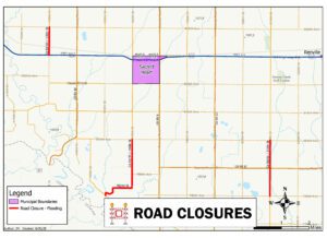
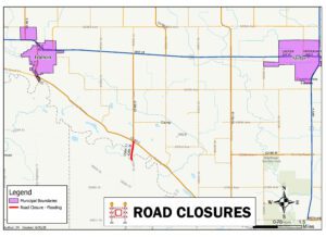
| Road Closures | View County road closures due to springtime flooding. Check back with this app when the snow melts. |
| Recorded Documents Lookup | View a list of recorded documents by tax parcel. A subscription is required for access to Landshark website for document viewing. |
| Historic Image Viewer | Compare and contrast Renville County in 1938 with current aerial imagery with this simple ‘swipe’ tool application. |
| Mobile Mapping | This application contains ALL public GIS data. Address points, parks boundaries, aerial imagery from 09’/14’/18’, state LiDAR, tax parcel and more! |
For Renville County Employees Only:
.
Useful Links:
Renville County GIS is proud to partner with ProWest & Associates for GIS applications!


